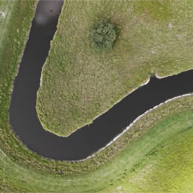
Managing more than 600,000 acres across Florida and Texas requires more than experience—it requires precision. At Lykes Bros. Inc., our Geographic Information System (GIS) program serves as a vital tool for understanding, analyzing, and stewarding the land that has been central to the family’s legacy for more than a century.
GIS technology enables us to analyze and visualize geographic data across all Company divisions. From detailed property maps to interactive data dashboards, these tools help our teams make informed decisions about cattle operations, forestry management, water resources, and land use planning. The result is a clearer understanding of our properties and more effective stewardship of the resources entrusted to us.
We maintain a comprehensive library of geospatial data covering property boundaries, pasture areas, forestry inventory, leased areas, crop production, wildlife surveys, land use patterns, water projects, and county, state, and federal data.
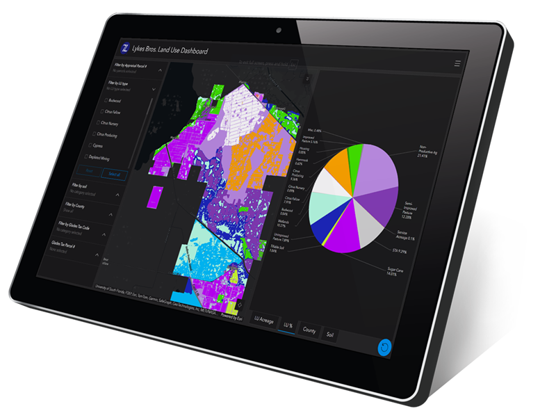
GIS technology supports nearly every aspect of Ranch operations. Our teams use these tools to analyze profit performance by acreage, track land use patterns over time, resolve property and tax boundary questions, orient stakeholders to key land features, and inform strategic planning at every level. The technology also plays an important role in Ranch security, helping us monitor and protect our extensive landholdings.
The Company maintains a comprehensive library of geospatial data covering property boundaries, pasture areas, forestry inventory, leased acreage, crop production records, wildlife surveys, water projects, and relevant county, state, and federal information. This centralized resource ensures that critical land data is accurate, accessible, and ready to support decision-making across the organization.
Central to our GIS program is a mobile mapping initiative that brings technology directly to the people who know our land best. Using GPS-enabled phones and tablets equipped with proprietary Lykes applications, employees working anywhere on Company lands can navigate Ranch features and collect data in real time.
A cowboy can mark a fence section that needs repair. A wildlife biologist can record game species observations during a survey. An engineer can map the boundaries of a proposed project. This field-collected data uploads instantly to our online GIS platform, where it becomes available to stakeholders across the Company—connecting the work happening on the ground with the planning happening in the office.
For Lykes Bros. Inc., GIS is more than a technology investment—it reflects our commitment to responsible land management. By combining modern tools with generations of agricultural knowledge, we ensure that every acre we manage is understood, valued, and cared for with the future in mind.